
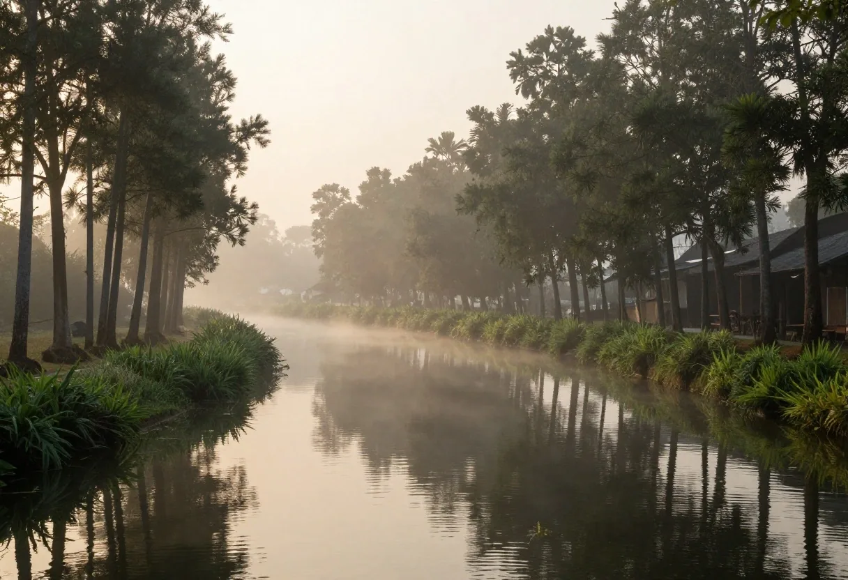
Xochimilco lake system and chinampas
Located in the southeast of the Basin of Mexico, Xochimilco guards the last living remnants of the pre-Hispanic lacustrine landscape that covered more than two thousand square kilometers of interconnected lakes. Declared a World Heritage Site by UNESCO in 1987 and recognized as a Globally Important Agricultural Heritage System (GIAHS) by the FAO, Xochimilco stands out for its agroecological chinampa method, an ancient hydrological technology that helped feed the populous cities of ancient Mexico. This document details the physical structure of its canals, its environmental challenges, and the invaluable ethnographic value of its lacustrine communities.
The endorheic basin and the division of waters
Before the major colonial and nineteenth-century drainage works, the Basin of Mexico was a closed (endorheic) basin made up of five interconnected lakes: Zumpango and Xaltocan to the north, Texcoco in the center (all with brackish water), and Xochimilco and Chalco to the south. The latter two were continuously fed by crystalline freshwater springs that flowed from the volcanic slopes of the Ajusco and the Sierra Nevada.
During the reign of Itzcóatl and under the technical direction of Nezahualcóyotl, the Mexica built the Nezahualcóyotl Dike in 1449, a sixteen-kilometer dam that separated the fresh waters of the south from the salty and corrosive tides of Texcoco, protecting the Xochimilca chinampas and regulating the periodic flooding of Tenochtitlan.
Lacustrine ecosystems of the Valley
- Freshwater lakes (South):Xochimilco and Chalco, enriched by basaltic runoff from the Chichinautzin.
- Brackish lakes (North and Center):Texcoco, Zumpango, and Xaltocan, rich in mineral salts and tequesquite.
- Control infrastructure (1449):Nezahualcóyotl, San Antón, and Iztapalapa dike-causeways with movable floodgates.
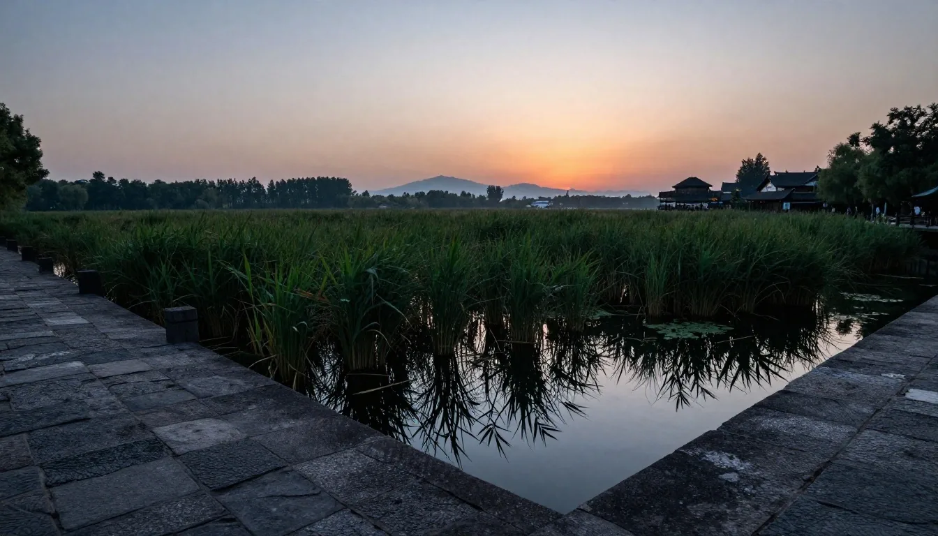
The coexistence of fresh water and brackish tides
The pre-Columbian lock system allowed Lake Xochimilco to maintain a surface level slightly higher than that of Lake Texcoco. This hydrostatic pressure difference prevented the intrusion of saline water into the southern agricultural zones, preserving the aquifers essential for intensive vegetable cultivation.
Engineering of traditional chinampa farming
The chinampa is not a floating plot, but an artificial island built on the marshy bed of shallow lakes. For their construction, Xochimilca farmers delimited elongated rectangles by driving live stakes of ahuejote (Salix bonplandiana), a native willow with deep roots and vertical growth that does not cast excessive shade on the crops. Inside this perimeter, they wove a framework of reeds and branches (chinamil) on which they piled alternating layers of mud from the canal bottom, rich in decomposed organic nutrients, and aquatic vegetation. This technique guarantees constant capillary moisture and allows for up to five agricultural cycles per year without depleting soil fertility.
Ahuejote stakes
Live willow poles are fixed at regular intervals in the lake mud. As they root vertically, they form a biological palisade immune to rot that permanently holds the edges of the islet.
The weaving of the chinamil
Reeds, cattails, and flexible tule branches are interwoven between the ahuejotes. This porous containment diaphragm retains the soil while allowing the capillary flow of water without crumbling into the canal.
Mud bed and seedbeds
Organic sediments are dredged from the canal bottom and combined with decomposed leaf litter. Small squares (chapines) are cut where seedlings germinate before being transplanted to the final bed.
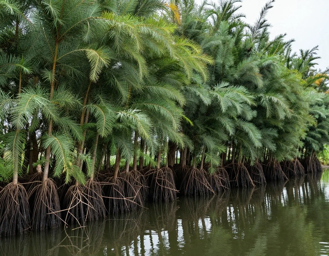
Biological backbone of the wetland
The ahuejote as a landscape-structuring tree
The ahuejote represents the biological backbone of the chinampa landscape. In addition to consolidating the edges of the islets with its dense root system to prevent the wake of canoes from crumbling the fertile soil, these trees act as windbreaks against the highland frosts and provide refuge for dozens of migratory and local birds.
The slender, rectilinear silhouette of the riverside willow, repeated rhythmically along hundreds of kilometers of canals, forms the unmistakable landscape profile that captivated New Spanish chroniclers, nineteenth-century explorers, and directors of Mexican national cinema.
Its columnar stature allows for optimal solar use in the fields: by growing upward with narrow branches and light foliage, it casts minimal shade on the vegetables growing at its feet, allowing solar radiation to penetrate directly during the midday zenith.
The trajinera: from cargo boat to cultural symbol
Navigation through the lake system was historically carried out using wooden canoes called acales, intended to transport vegetables, corn, and flowers from the southern gardens to the urban docks of La Viga and Jamaica.
With the gradual piping of metropolitan canals in the mid-twentieth century and the consecration of Xochimilco as a Sunday leisure destination, the traditional boat evolved into the current passenger trajinera: a flat-bottomed boat propelled manually with a wooden pole (oar or pusher) that rests on the bottom of the canal.
The canvas roofs and floral arches with female names constitute an indissoluble folkloric element of popular life in the capital. Originally made with fresh pansies and cempasúchil flowers on reed frames, today they are handcrafted in oil-painted wood, preserving a folk art that universally identifies the south of the city.
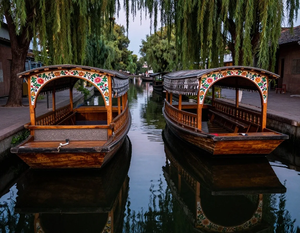
Transformation of the cargo acal into a social space
Endemic biodiversity and the axolotl habitat
The wetlands of Xochimilco and Tláhuac host a rich community of threatened flora and fauna, among which the Mexican axolotl stands out (Ambystoma mexicanum). This neotenic amphibian, capable of reproducing in a larval state and possessing an astonishing ability to regenerate limbs, organs, and cardiac tissues, inhabits the calm, cold waters of secondary canals. The introduction in past decades of foreign fish such as carp and tilapia, added to pollution from urban discharges, drastically reduced its wild population. Today, chinampa cooperatives and UNAM research centers promote biological refuges where traditional cultivation and the conservation of native fauna feed back into each other.
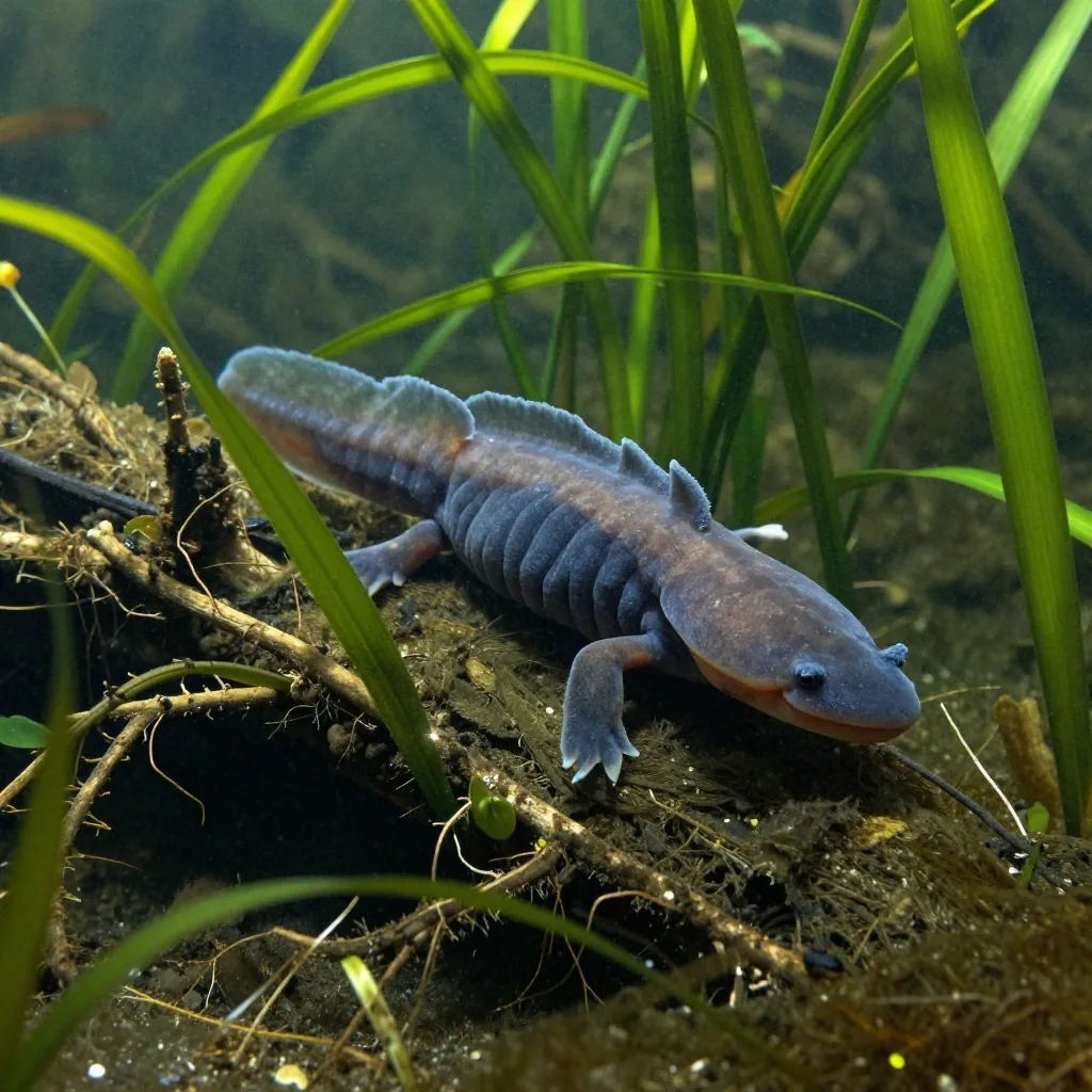
Ambystoma mexicanum · Chinampa refuge
Chinampa-Axolotl Refuge Strategy
Designed by the Ecological Restoration Laboratory of the UNAM Institute of Biology, the refuges consist of ditches and screens with natural filtration meshes placed at the entrances of the chinampa branches. These filters prevent the passage of predatory tilapia and carp, while aquatic plants and a tezontle biofilter purify the water.
Avifauna and Migratory Birds
The wetland does not only support amphibians: it is a crucial stop on the Central American Migratory Route. During the boreal autumn and winter, it hosts more than ninety species of birds, including the American white pelican, the northern shoveler, the great blue heron, and the ringed kingfisher.
Agricultural and Wild Mutualism
The chinampa producer who does not use synthetic agrochemicals obtains pesticide-free water that favors the wild breeding of the amphibian; in turn, the active presence of the axolotl biologically certifies the purity of the vegetables sold under agroecological labels in the capital.
Tourist piers versus ecological canals
The canal system covers more than one hundred and seventy navigable kilometers, distributed between two markedly different zones. On one hand, there are the festive urban piers such as Nativitas, Belém, and Salitre, where trajineras operate, oriented toward mariachi music and the street sale of snacks. On the other hand, there are the ecological and research piers, such as Cuemanco and Puente de Urrutia, from where silent tours depart toward the Ecological Conservation Zone and the Xaltocan lagoon. This latter aspect allows one to appreciate the local avifauna (great egrets, cormorants, and kingfishers) and visit clean agriculture projects and environmental education workshops.
The festive and gastronomic experience
- Traditional music on board: mariachi groups, marimbas, and trios that move from boat to boat.
- Direct river commerce: kitchen trajineras that prepare roasted corn, quesadillas, carnitas, and typical drinks.
- Flow of family groups and celebrations during the weekends, with high traffic density on the main canals.
- Hours with the most activity between 12:00 and 18:00 on Saturday and Sunday.
Silent navigation and agroecology
- Wildlife sighting: great egrets, cormorants, kingfishers, and cormorants in open lagoon areas.
- Guided tours to productive organic chinampas, where planting in chapín and the management of organic mud are shown.
- Intentional absence of sound amplification and loud music, prioritizing the murmur of the water and the singing of birds.
- Optimal departure time between 07:30 and 09:00 to contemplate the sunrise through the mist.
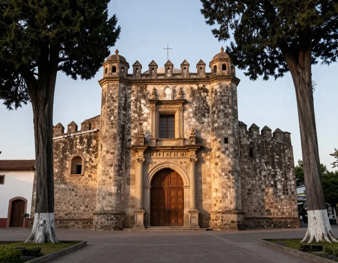
San Bernardino de Siena · 16th Century
The Parish of San Bernardino de Siena
In the civic center of the town of Xochimilco stands the Franciscan temple and convent of San Bernardino de Siena, built in the second half of the sixteenth century. The complex stands out for its sober Renaissance facade, its Porciúncula door, and its magnificent main altarpiece in the Plateresque and Mannerist style, attributed to the New Spanish painters Simón Pereyns and Andrés de la Concha.
The temple functioned as a regional evangelizing center, housing a trade school where the natives learned European masonry and carpentry techniques that they later applied in the adaptation of their chinampa dwellings and in the manufacture of their work tools.
Its monumental atrium housed the first open chapels in the region, conceived to congregate thousands of indigenous people who rejected worship in closed enclosures. On its walls, one can still see the volcanic stone ashlars carved with techniques that denote the original chinampa labor.
The Dolores Olmedo Museum and the artistic legacy
In the La Noria neighborhood, near the historic center of Xochimilco, is the La Noria hacienda, home to the Dolores Olmedo Museum. Surrounded by lush gardens populated by peacocks and Xoloitzcuintli dogs—a pre-Hispanic hairless canine breed considered a spiritual guide for souls—the museum housed one of the most important private collections in the world of works by Diego Rivera and Frida Kahlo, along with pieces of Mexican folk art and engravings by Angelina Beloff.
Although subject to restructuring and traveling exhibitions, this space organically links the peasant aesthetics of the south with the great names of modern art, recalling the deep fascination that the lake landscape exerted on the Mexican muralists of the twentieth century.
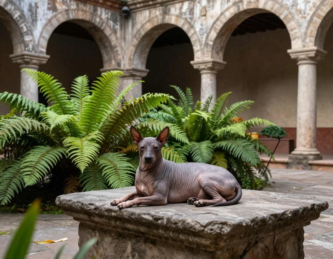
Historic hacienda and plastic memory of muralism
Contemporary water preservation challenges
The Xochimilco ecosystem faces serious structural challenges for its long-term survival. The depletion of natural springs at the beginning of the twentieth century forced the supply of the canals with treated water from the Cerro de la Estrella, which requires continuous monitoring of oxygenation and salinity. Likewise, the illegal demographic pressure on the conservation land and the abandonment of agricultural activity by younger generations threaten to dry up the islets. Supporting the direct consumption of chinampa vegetables in agroecological markets in the capital constitutes the most effective civic measure to keep the productive vocation of this historic wetland alive.
Freshwater flow deficit
The diversion of the Xochimilco aqueduct to the city center in 1913 extinguished the springs of San Luis Tlaxialtemalco. Today the flow depends on secondary and tertiary treatment plants, requiring biofilters to avoid the salinization of the chinampas.
Pressure on conservation land
The advance of irregular human settlements fills old branches with rubble, interrupting water circulation. UNESCO standards require the delimitation of strict urban exclusion polygons to curb the loss of the wetland.
Sustainability and local consumption
Chinampa farming survives when the producer receives a fair payment. Fair trade initiatives in Mexico City distribute lettuce, chard, radishes, and quelites grown in Xochimilco directly to restaurants and conscious families.
Practical tips for a respectful visit
To enjoy an enriching experience in Xochimilco, it is recommended to arrive first thing in the morning (between eight and nine) at the Cuemanco pier, when boat traffic is zero and the mist over the canals offers an exceptional atmosphere for bird watching. The cost of renting the trajinera is officially set by the hour and by the entire boat (not per individual person), a rate that must be verified at the mayor's office information modules before boarding. Visitors are urged not to leave plastics or trash in the water and to consume products offered by duly registered local chinampa cooperatives.
Official Rates and Hiring
- • Charge per boat:The price regulated by the Xochimilco Mayor's Office applies to the entire trajinera (with a capacity for up to eighteen or twenty people), not per individual passenger. Avoid fractional charges per person.
- • Information modules:Check the official price banner posted at the entrance of each pier before negotiating with street intermediaries.
- • Recommended duration:A short trip usually takes two hours; to reach the Xaltocan lagoon, the axolotl refuges, or educational chinampas, it is advised to hire a tour of at least three to four hours.
Environmental Ethics and Behavior
- • Zero waste in the canals:Carry reusable containers with you and return all trash to urban containers on dry land. Do not throw cigarette butts or plastic containers into the water table.
- • Moderate sound volume:In the ecological conservation canals, the use of portable speakers at high volume is not allowed, in order not to disturb the nests of herons and marsh birds.
- • Respect for active chinampas:Do not get off onto the planting islands without the explicit invitation and accompaniment of local producers so as not to compact the fertile soil.
Frequent questions about visiting Xochimilco
Specific information to plan a respectful and cultural day in the wetland.
What is the substantial difference between festive and ecological piers?
Festive piers (such as Nativitas or Belém) are located in the urban area of Xochimilco and concentrate trajineras with striking arches, mariachi bands, and food sales on board, which creates a noisy and festive atmosphere. Ecological piers (such as Cuemanco and Puente de Urrutia) are oriented toward the Conservation Reserve, allowing silent trips by canoe or trajinera to spot migratory birds, learn about axolotl preservation projects, and visit organic chinampa gardens without loud noises.
How are trajineras regulated and charged?
The rate is officially set by the hour and by the entire boat, regardless of whether two or fifteen passengers are traveling. Individual charges per person should never be allowed when renting a complete trajinera. At the entrances to each pier, there are information modules dependent on the mayor's office where the current rate is displayed. It is advised to agree on the total duration of the tour before setting sail.
Is it feasible to observe axolotls in their wild environment?
In the main high-traffic canals, it is not possible to see them freely, due to the turbidity caused by the waves and the competition from introduced species. However, when hiring specialized tours departing from Cuemanco toward the chinampa refuges certified by UNAM or peasant cooperatives, it is feasible to access screened secondary canals where specimens are raised and monitored in crystal-clear, controlled waters.
What is the best means of transport to get to Xochimilco from the city center?
By mass public transport, the most economical and direct way is to take Metro Line 2 to the Tasqueña terminal and transfer there to the Light Rail (Tren Ligero) in the direction of the Xochimilco terminal. From the terminal station, it is a ten to fifteen-minute walk to the civic center and the urban piers (Fernando Celada, Belém, Salitre). If you wish to go to Cuemanco, you can take collective transport or an authorized taxi from the Periférico station of the Light Rail or directly via Anillo Periférico Sur.
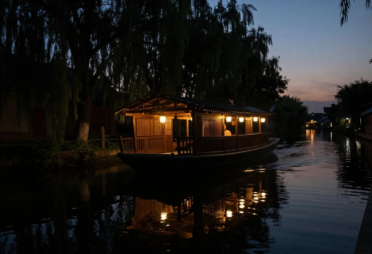
Plan your tour through the southern canals
Consult our complementary historical monographs to integrate the visit to Xochimilco with the colonial neighborhoods of Coyoacán, San Ángel, and the great sites of the Basin of Mexico.