
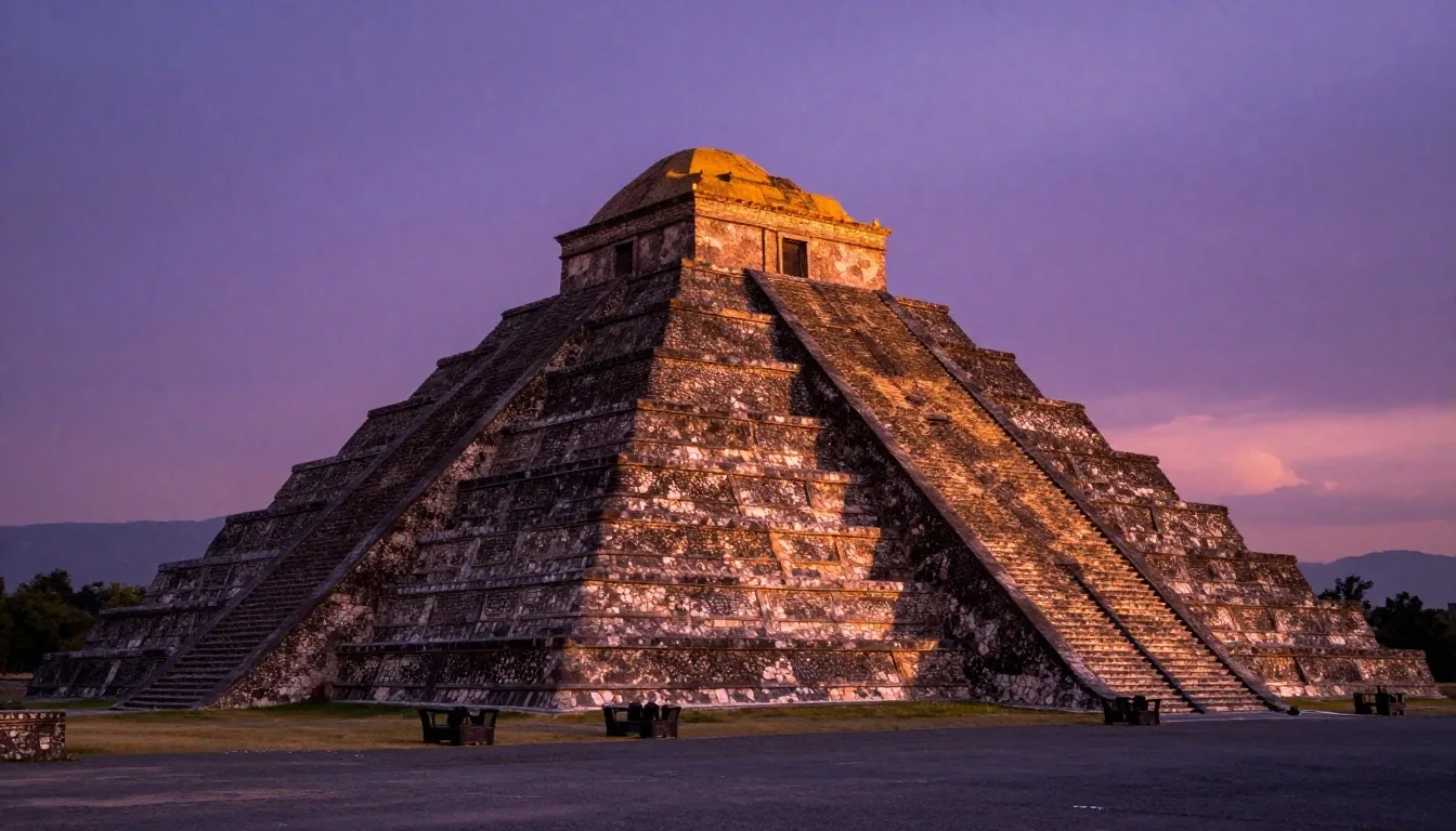
Archaeology and monumentality in Teotihuacan
Located in the valley of the same name within the State of Mexico, fifty kilometers northeast of Mexico City, the Teotihuacan Archaeological Zone constitutes one of the most influential and monumental urban centers of the pre-Hispanic world. Declared a UNESCO World Heritage site in 1987, this metropolis flourished between 100 BC and 650 AD, housing a cosmopolitan population estimated at over one hundred thousand inhabitants. This guide contextualizes its orthogonal urbanism, its civic-religious architectural complexes, and the sophisticated Teotihuacan material culture, offering precise interpretive guidelines for a reflective visit.
Origin and foundational enigma of the metropolis
Unlike other Mesoamerican cities where stelae with names of kings and dynastic genealogies are preserved, Teotihuacan has not revealed individualized portraits or explicit epigraphic records of its rulers. The model of authority seems to have been based on a corporate or collegiate structure integrated by priestly, military, and guild hierarchies.
The myth of the Fifth Sun
When the Mexica arrived in the valley in the fourteenth century, the city had been abandoned for more than six hundred years and covered in vegetation. It was the Mexica who gave it the Nahuatl name of Teotihuacan —commonly translated as "the place where men become gods"—, believing that in this cosmic space the divine assembly had gathered to give rise to the Fifth Sun through the self-sacrifice of Nanahuatzin and Tecuciztecatl.
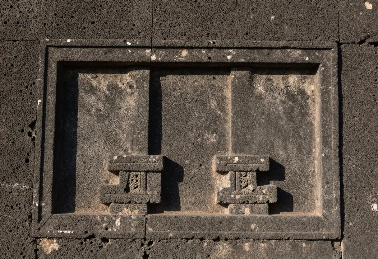
The foundations of the city rest on volcanic tuff and local basalt extracted from the flows of the Xitle volcano and surrounding hills. The spatial planning integrated underground quarries reused as ceremonial warehouses and sanctuaries dedicated to telluric deities.
The Avenue of the Dead as a guiding axis
Teotihuacan urbanism is organized from an orthogonal grid strictly oriented 15 degrees and 25 minutes east of astronomical north, an alignment related to solar events and constellations such as the Pleiades. The main ordering axis is the Avenue of the Dead (Miccaotli), an avenue more than four kilometers long and forty meters wide that crosses the city from south to north.
Astronomical Orientation
The deliberate deviation of 15° 25' from the north allowed the sunset to coincide with the transverse axis of the Pyramid of the Sun on key days for the agricultural calendar, regulating corn planting in the lake basin.
Talud-Tablero System
Along this stepped path are residential complexes of the priestly and administrative elite, sunken plazas, and minor temples built with the distinctive construction system of inclined slope (talud) and framed rectangular panel (tablero), an emblem of regional architectural hegemony.
Hydraulic Engineering
The San Juan River was channeled and artificially diverted to cross the Avenue of the Dead at an exact perpendicular angle of ninety degrees, demonstrating hydrological mastery that channeled rainwater runoff into large underground cisterns.
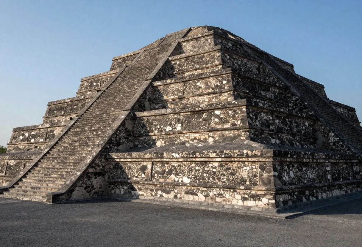
Quadrangular base of 225 meters per side and core made of basaltic rock, adobe, and rammed earth.
The Pyramid of the Sun: mass and cosmic symbolism
Erected around the year 200 AD in a single colossal construction phase, the Pyramid of the Sun is the most voluminous structure of the site, with a square base of approximately two hundred twenty-five meters per side and more than sixty-three meters in height. Its core is composed of millions of cubic meters of earth, adobe, and fragments of volcanic rock covered with cut stone and cinnabar red polychrome stucco.
Speleological and archaeological investigations detected an artificial tunnel under its base that leads to a cave with four chambers, a sacred space associated with the origins of the underworld and the mythical birth of primordial water.
The original cladding shone under solar radiation thanks to a thick layer of burnished lime enriched with mica dust, a mineral transported from the valleys of Oaxaca that gave a silvery luster to the ritual facades.
The Pyramid of the Moon and the ceremonial Plaza
At the northern end of the Avenue of the Dead stands the Pyramid of the Moon, whose silhouette intentionally mimics the topographical line of Cerro Gordo (Tenan), the tutelary mountain from which water torrents descended to the valley.
Excavations of the Moon Archaeological Project revealed seven superimposed construction stages with rich offerings that included sacrificed individuals, jaguars, pumas, eagles, and fine objects of green obsidian and jadeite. At its feet opens the Plaza of the Moon, an enclosure of extraordinary acoustics surrounded by twelve temple bases that created a theatrical atmosphere conducive to massive collective liturgies.
The Central Altar of the Plaza
The cruciform base located in the middle of the plaza functioned as a cosmic quincunx: it marked the navel of the world and the four cardinal directions where priests performed botanical offerings and ritual dances before thousands of spectators gathered in the esplanade.
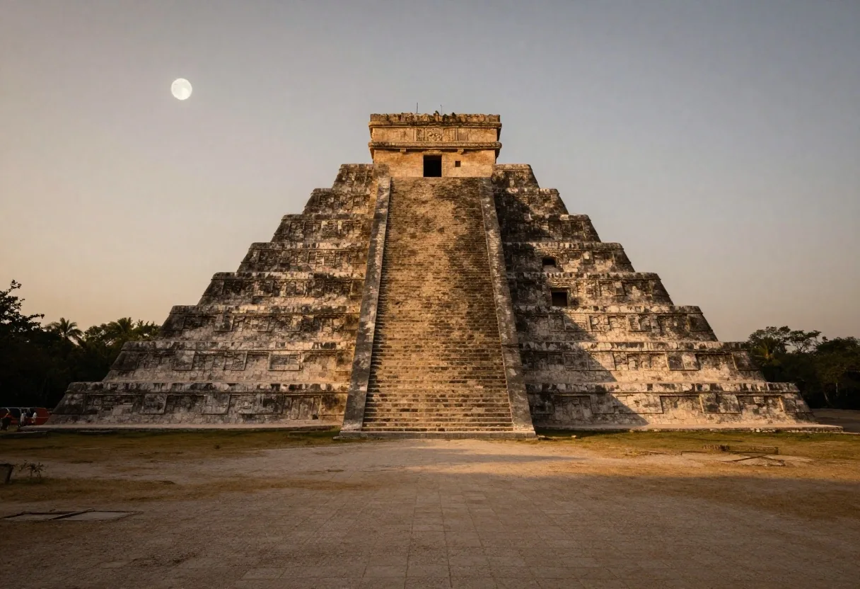
Perfect visual integration between the monument and the mountainous profile of the extinct Tenan volcano.
The Citadel and the Temple of the Feathered Serpent
At the intersection of the Avenue of the Dead with the East-West avenue is located The Citadel, a monumental quadrilateral of four hundred meters per side delimited by elevated platforms. In its center stands the Temple of the Feathered Serpent (Quetzalcoatl), a masterpiece of the classic period decorated on its facades with more than three hundred sculptural heads that alternate the effigies of the undulating serpent with the jaws of a deity with goggles identified as Tlaloc or the Earth Monster.
Beneath this structure, explorations of the Tlalocan tunnel unearthed thousands of jade beads, pyrite spheres, and liquid mercury simulating underground rivers. This passage, intentionally closed by the priests around 250 AD, constituted a scale replica of the aquatic underworld, where the walls were pulverized with metallic minerals so that they would shine like celestial vaults under the light of torches.
Recent investigations using georadar and miniature robots revealed terminal chambers where anthropomorphic sculptures carved in green serpentine lay dressed in ceremonial mantles, guarding fossilized seeds of cocoa, corn, beans, and remains of large sacrificed felines.
Ritual underground rivers that evoked the abyssal currents of the underworld.
Hundreds of polished mineral orbs with golden reflections and solar properties.
Votive effigies associated with foundational lineages and guardians of the telluric threshold.
Monumental Superposition
Towards the late Classic period, the Temple of the Feathered Serpent was covered by a massive platform known as the Adjoined Platform, hiding its polychrome facades.
Archaeologists interpret this architectural change as a political-religious reform aimed at suppressing the militaristic serpent cult in favor of a more tempered civic order.
The sandstone sculptures of the Temple of Quetzalcoatl are under a special INAH monitoring regime to counteract weathering and the effects of winter humidity.
Mural painting in Tepantitla and Tetitla
The aesthetic splendor of Teotihuacan did not reside solely in its monumental architecture, but in the profuse mural painting that covered the interior and exterior walls of its residential palaces. In the Tepantitla complex is the famous "Tlalocan" or Paradise of Tlaloc mural, where tiny human figures can be seen playing, swimming, and singing in a flowery orchard irrigated by sacred waters.
In residential neighborhoods like Tetitla and Atetelco, muralists depicted processions of feathered jaguars, priests sowing grains, and eagles devouring hearts, works created with mineral pigments of hematite, malachite, and charcoal fixed onto fresh lime stucco.
The flowery scrolls emerging from the mouths of the priests represent prayers and sacred songs, forming a complex semasiographic system that was a precursor to the codices of the Altiplano.
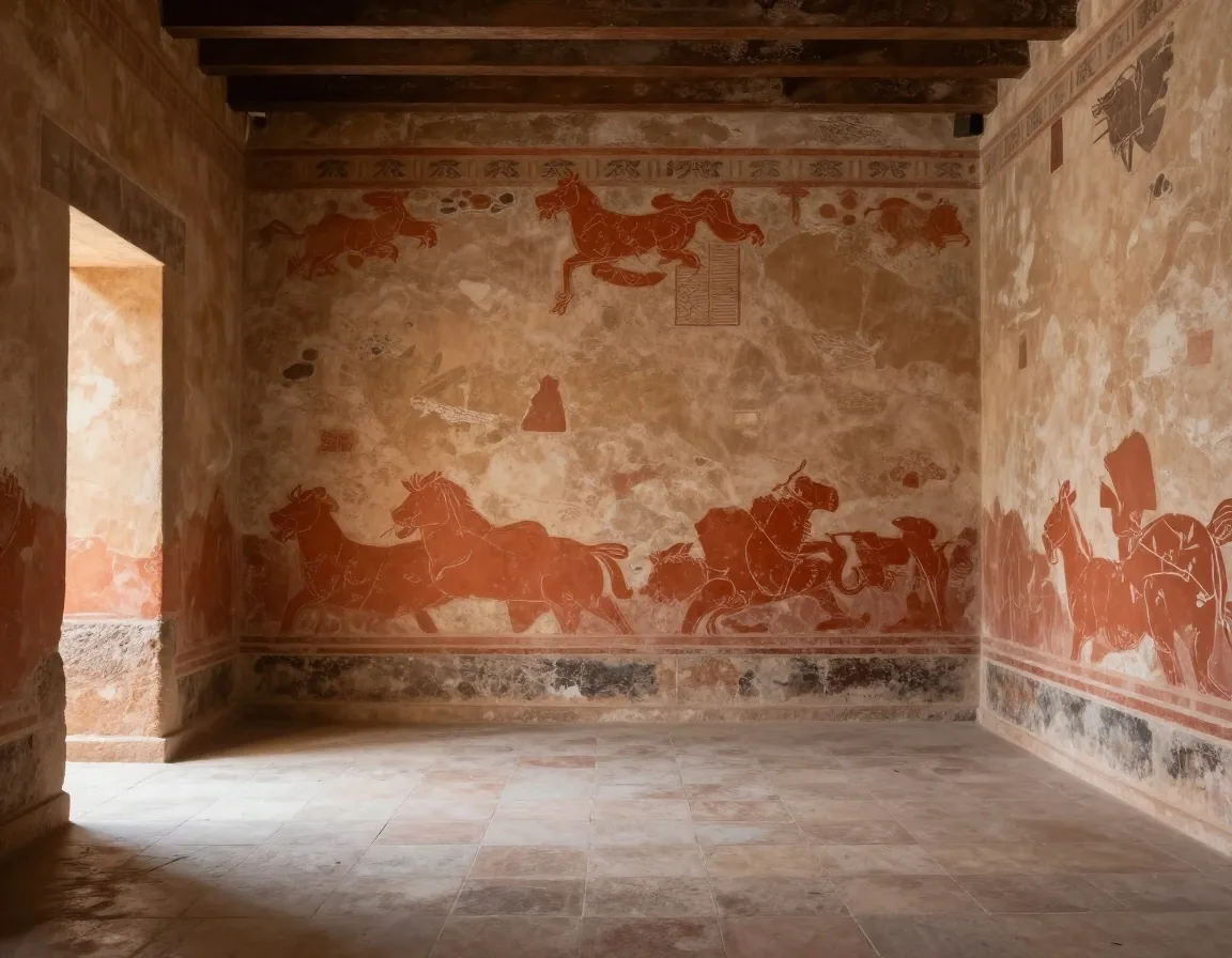
The Tlalocan Mural
Representation of agricultural abundance governed by the rain deity and trees laden with fruits and pollinating insects.
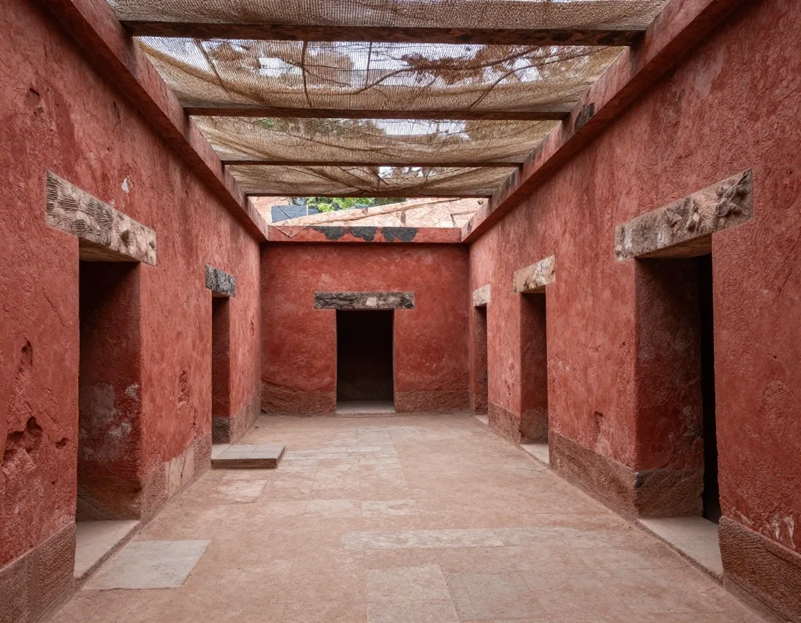
Jade-Giving Hands
Iconographic motifs dedicated to sumptuary exchange, precious feathers, and the ritual scattering of corn kernels and raindrops.
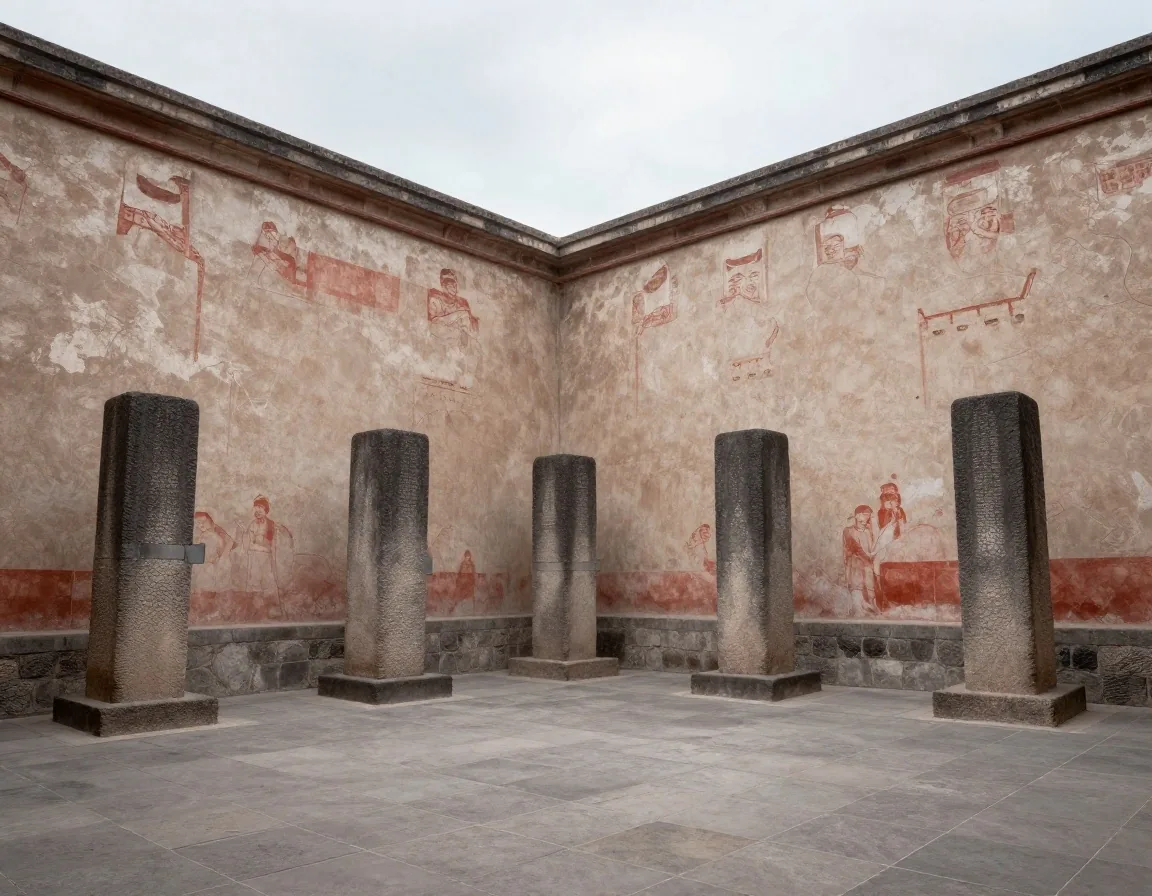
Military Orders
Quadrangular courtyards decorated with processions of canines and jaguars that guarded the quarters of the army's high command.
Technology and trade: the obsidian industry
The hegemonic power of Teotihuacan in Mesoamerica was closely linked to its monopoly on the extraction, manufacture, and export of obsidian from nearby deposits such as Pachuca (golden green obsidian) and Otumba (gray obsidian).
In the city's urban workshops, specialized artisans produced tens of thousands of prismatic blades, projectile points, ceremonial knives, and zoomorphic figurines. These trade goods reached distant regions such as the Guatemalan highlands, the Yucatan Peninsula, and the Gulf Coast of Mexico, allowing the city to import cocoa, quetzal feathers, and thin orange-ware ceramics.
Golden green obsidian mine in Pachuca of unsurpassed transparency and sharp edge.
Deposit of gray and black obsidian for domestic tools and defensive weaponry.
Pan-Mesoamerican Exchange Matrix
The presence of multi-ethnic enclaves documented in Teotihuacan—such as the Oaxacan Barrio and the Coast Merchants' Barrio—corroborates that the metropolis integrated foreign diplomats and merchants under a commercial safe-conduct regime.
Site museums: from material culture to interpretation
The archaeological zone has two fundamental museum venues: the Museum of Teotihuacan Culture, located near Gate 5, and the Beatriz de la Fuente Teotihuacan Mural Museum, located near Gate 3.
Museum of Teotihuacan Culture
Exhibits detailed models of the urban layout at a 1:1000 scale, funerary burials with their complete votive offerings, and ceremonial ceramics with three hollow supports, conical lids, and symbolic engravings.
- Monumental model of the 20 km² urban precinct with topographic relief.
- Green stone masks carved in jadeite, serpentine, and metamorphic rock.
- Polychrome stuccoed vessels decorated with iconography of priests and felines.
Beatriz de la Fuente Mural Museum
Brings together dozens of square meters of original frescoes rescued from palaces in danger of collapse, offering an indispensable critical apparatus for understanding the religious iconography and war symbolism of this civilization.
- Mural painting detached from palaces in Tetitla, Zacuala, and Atetelco.
- Technical explanation of the grinding of mineral pigments and organic binders.
- Comparative iconographic analysis led by emeritus researchers from INAH.
Dynamics of collapse and population dispersal
Around the year 650 A.D., Teotihuacan experienced a process of accelerated decline characterized by selective and systematic fires in the temples of the Avenue of the Dead and the palaces of the ruling elite.
Far from being the product of a sudden foreign invasion, modern research attributes the collapse to a combination of internal factors: forest overexploitation to supply lime kilns, prolonged droughts in the Altiplano, class tensions between the central bureaucracy and peripheral multi-ethnic neighborhoods, and the rupture of commercial supply routes.
The dispersal of its population nourished new regional centers such as Xochicalco, Cacaxtla, and Tula, which inherited its architectural vocabulary and formulas of political prestige.
Basin Deforestation
Each ton of stucco required burning five tons of living wood, depleting the valley's temperate forests and eroding farmland.
Selective Fires
Traces of calcination are concentrated only in government buildings and main temples, leaving popular residential areas unscathed.
Commercial Isolation
The emergence of intermediate fortresses cut off supplies of sea salt, cotton, and precious minerals essential to legitimize the priestly caste.
Legacy in the Epiclassic
Muralists and priests migrated towards the Puebla-Tlaxcala Valley and Morelos, reproducing the Teotihuacan style in Cacaxtla and Cantona.
Travel directions and site preservation
Visiting Teotihuacan requires physical preparation and respect for the heritage. For reasons of structural conservation and visitor safety, climbing to the summits of the Pyramids of the Sun and the Moon is currently restricted by INAH. The site is open every day of the year from eight in the morning to five in the afternoon.
Transport from CDMX
From Mexico City, direct buses depart from the Terminal Central de Autobuses del Norte (Metro Autobuses del Norte station, Line 5) at hall 8, with departures every fifteen minutes.
Recommended Equipment
It is recommended to wear comfortable shoes with grip soles for walking on irregular stone, a wide-brimmed hat or cap, sufficient water, and broad-spectrum sunscreen, as the valley's vegetation does not offer natural shade on the main avenue.
Conservation Regulations
It is strictly forbidden to remove ceramic or lithic fragments, use drones without federal permission from INAH, or enter cordoned-off areas of palaces with polychrome stucco. Lithic heritage suffers irreparable erosion from continuous manual contact.
Questions about the experience in Teotihuacan
Concrete clarifications to organize a profitable archaeological day in the Central Altiplano.
Is it currently possible to climb the Pyramids of the Sun and the Moon?
Which is the best access gate to start the tour?
How much time does a complete visit to the site and its museums require?
Are there sanitary facilities and rest areas within the perimeter?
Delve into the pre-Hispanic heritage of the Highlands
Consult our methodological guides on the ceremonial centers, archaeological museums, and cultural routes of the Valley of Mexico to coordinate reflective and documented visits.